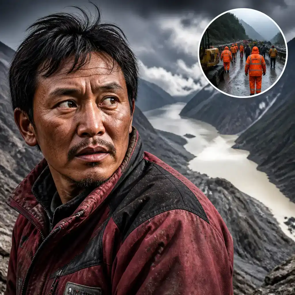
Barrier Lake Flood Risk Grows Near Nepal Border

NewsBarrier Lake Flood Risk Grows Near Nepal Border

China has warned that the barrier lake flood risk near the Nepal-Tibet border remains high, raising fears of another destructive surge downstream. The lake formed after a landslide in the area where Wednesday’s deadly flash flood swept through communities and damaged a major border crossing.

Scientists believe the earlier disaster began when part of a mountain glacier collapsed into a river, sending a powerful mixture of water and debris downstream. Now, emergency teams are watching a second threat gather several kilometres above Gyirong Port.

How much water has collected in the lake?

By Friday, an estimated 2.5 million cubic metres of water had accumulated behind the natural dam, according to Chinese state broadcaster CCTV. Such lakes form when landslide debris blocks a river and traps water upstream, creating a temporary structure with none of the reassuring engineering usually associated with dams.

Officials expected another three million cubic metres to flow into the lake between Thursday and the weekend. They said that volume created a “high risk of breach”. Heavy rainfall forecast for the coming days could add further pressure.

The lake formed where the Chhochen Khola and Purepu Tsangpo rivers meet. China’s Ministry of Water Resources said it had begun overflowing on Thursday.
Most read

  1. CelebrityDolly Parton’s Cause of Death Confirmed
  2. CelebrityNatalie Harp’s Letters to Trump Go Public
  3. CelebrityJessie Cave’s OnlyFans Payday Came at a Cost

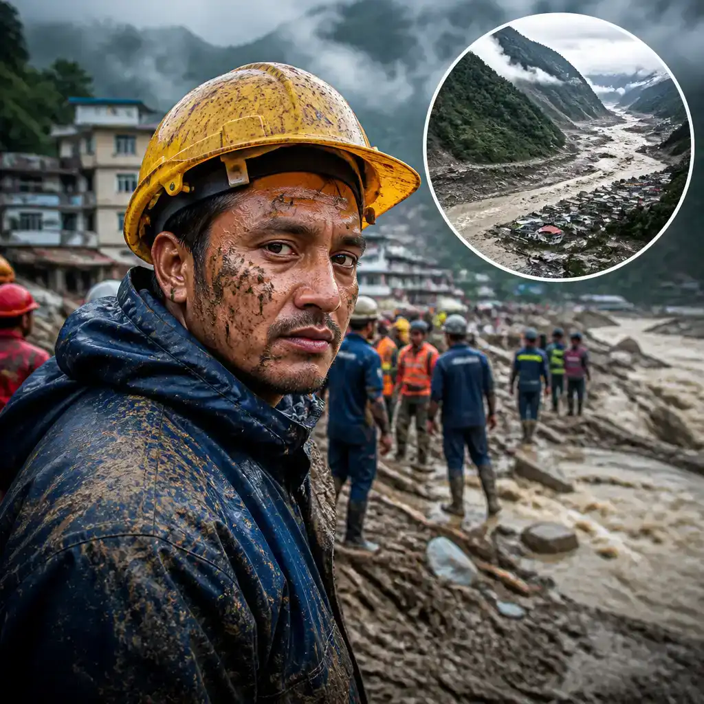
Engineers have been sent to monitor water levels and weather conditions. Drones have also delivered equipment and supplies to the site, which is difficult and dangerous to reach by land.

Why were rescue operations temporarily halted?

Most Chinese emergency teams initially stopped at a village about 7km from Gyirong Port, the main land crossing between Nepal and China that was struck by Wednesday’s flood.

CCTV reported that the lake was “overflowing non-stop” at the time, creating the possibility of fresh flooding or debris flows. That left rescuers facing the fairly basic problem of trying to enter a disaster zone while another disaster might still be travelling towards them.

By Friday afternoon, however, state media said the “risk from the upstream barrier lake had come under control”. Rescue operations then resumed. The earlier warning was not withdrawn entirely, with teams continuing to track the lake as more water and rain were expected.

The lake lies near Langtang Lirung, the mountain peak where the glacier collapse is believed to have originated. It is several kilometres upstream from Gyirong Port, placing the crossing and nearby settlements directly in the potential path of any sudden release.

What caused Wednesday’s deadly flash flood?

Scientists said part of a glacier near Langtang Lirung most likely broke away and crashed into the river below. The impact triggered a rapid downstream surge carrying water, rock and other debris.

Nepali authorities have separately warned that blockages along the Bhote Koshi and Trishuli rivers could cause further floods. People have been told to stay away from both rivers until further notice.

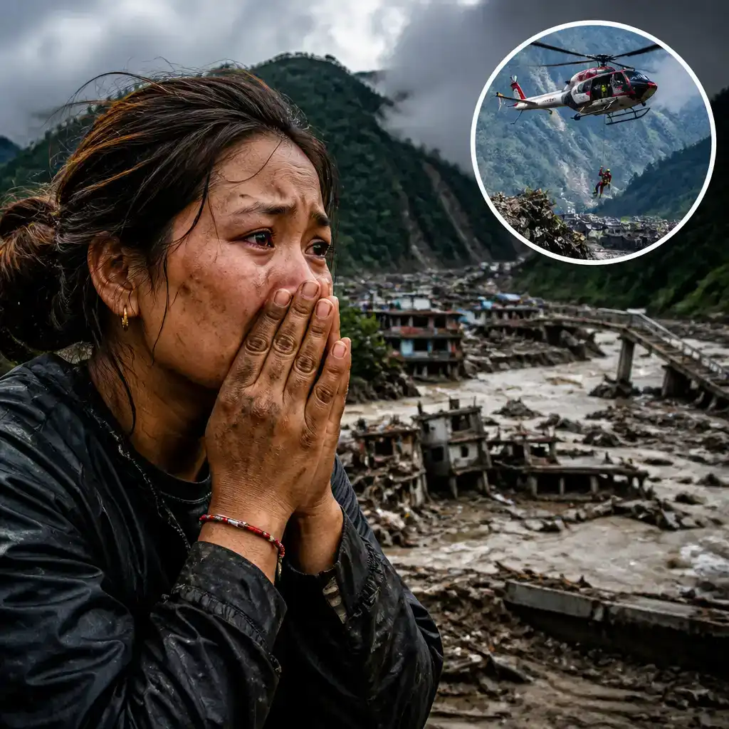
Several hundred people have died in Nepal, according to the reported figures, while hundreds more remain missing. On the Tibet side of the border alone, more than 550 people are missing, nearly half of them foreigners.

With rainfall still expected and unstable debris continuing to obstruct waterways, authorities on both sides of the border remain alert for further surges. Rescue crews have returned, but the rivers, glacier debris and improvised lake are still setting the timetable.

Tags:
barrier lake flood risknepal-tibet borderglacier collapsegyirong port

About The Hook Editorial Team

Editorial Team

The Hook Editorial Team delivers daily news reporting and analysis.