A potentially record-breaking El Niño is developing in the Pacific Ocean, and forecasters say it could become the strongest event measured since modern records began in 1950. Combined with human-driven climate change, the natural warming cycle is also expected to push 2027 towards becoming the hottest year recorded globally.
The UK Met Office described that outcome as “very likely”. Other major forecasting agencies broadly agree that the Pacific signal is unusually powerful, although the exact size depends on which temperature index is used. Climate science does enjoy giving one alarming event several measuring systems.
How strong could this Pacific warming become?
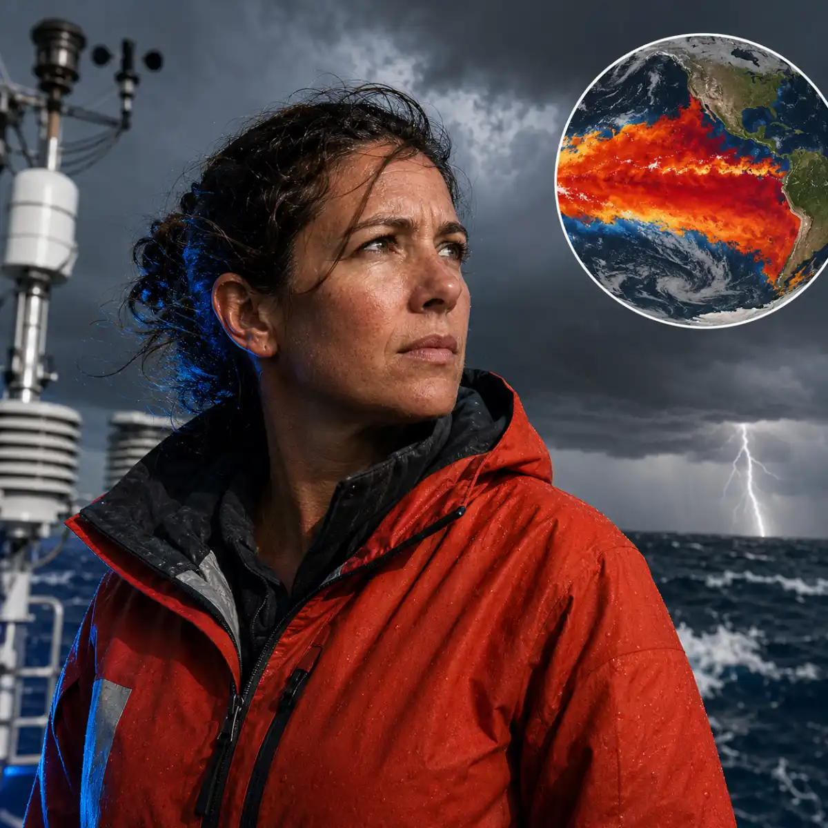
Scientists generally identify El Niño when sea-surface temperatures in a key part of the tropical Pacific remain at least 0.5C above the long-term average. Current measurements are already more than 2C above normal, while Met Office forecasts indicate the anomaly could exceed 3C later in 2026 as the event approaches its peak.
Professor Adam Scaife, head of long-range forecasting at the Met Office, called the outlook unprecedented.
“We should be clear that this is an unprecedented event,” he said. “I have never seen an El Niño signal this intense in our forecasts.”
The National Oceanic and Atmospheric Administration’s Climate Prediction Center added weight to that assessment on August 13. It gave the event a greater than 90% chance of becoming “very strong” and a 69% chance that conditions from October to December will exceed every episode recorded since 1950.
The World Meteorological Organization said multi-model forecasts showed anomalies above 2.9C in important Pacific regions. Australia’s Bureau of Meteorology measured the weekly relative Niño-3.4 index at 2.20C on August 9.
Warm water below the surface may reinforce the event. In some areas, ocean temperatures around 100 metres deep are approximately 8C above normal, creating a substantial reservoir of heat that can rise and help sustain the warming.
Why the record claims need some explanation
Not every number in these forecasts measures precisely the same thing. NOAA judges records using the three-month Relative Oceanic Niño Index, which adjusts for broader warming across the tropical oceans. Some projections above 3C, and more speculative estimates approaching 4C, use conventional sea-surface temperature anomalies instead.
That distinction matters because long-term ocean warming can make traditional measurements appear larger even when the contrast between the central Pacific and surrounding waters is less dramatic. The European Centre for Medium-Range Weather Forecasts introduced relative indices partly to address that problem.
Even with those qualifications, the current observations are extreme. A climate-network study published in February predicted a much weaker peak of 0.84C, but actual measurements have already passed that estimate. Dynamical forecast models now support a much stronger event.
Dr Zeke Hausfather, a climate scientist at Berkeley Earth, said the remaining development time increases confidence that a record will be set. He suggested an anomaly near 4C could indicate the strongest episode in 500 or even 1,000 years, though evidence becomes far less certain that deep into the past. Modern instruments, rather inconveniently, were not operating during the Middle Ages.
What could it mean for global temperatures?
El Niño releases heat from the ocean into the atmosphere and shifts rainfall and wind patterns worldwide. A very strong event can temporarily add roughly 0.2C to the global average temperature, with the largest atmospheric effect often arriving three to four months after Pacific conditions peak.
Hausfather’s analysis puts the probability of 2027 becoming the hottest year on record at about 95%, with a central estimate near 1.76C above preindustrial temperatures. He also estimates that 2026 has roughly a 50% chance of setting a record before the full atmospheric effect arrives.
El Niño is natural and occurs irregularly, usually every two to seven years. Scientists have not established clear evidence that climate change makes these events more frequent. The consequences, however, unfold in an atmosphere and ocean system that are already warmer because of greenhouse gas emissions.
That higher baseline can intensify heatwaves, heavy rainfall and drought linked to the cycle. El Niño does not replace climate change as an explanation for rising temperatures. It temporarily adds another source of heat, which is hardly the assistance the climate required.
Which regions face the greatest disruption?
Signs of changing weather patterns are already emerging. India has experienced weaker monsoon rainfall, with a national deficit of 42% reported for June. The shortfall delayed planting in some areas and contributed to water restrictions, increasing concerns about agricultural output and food prices.
The World Meteorological Organization has also warned that El Niño could combine with a positive Indian Ocean Dipole. Together, the two patterns may increase drought, flood and wildfire risks around the Indian Ocean, making humanitarian preparation more urgent.
The Atlantic hurricane season may be quieter overall because El Niño tends to increase wind shear, which can disrupt developing tropical systems. NOAA forecasts between eight and 14 named storms, compared with the 1991 to 2020 average of roughly 14.
A lower seasonal total does not mean harmless weather. NOAA forecaster Matthew Rosencrans said El Niño can suppress weaker systems, but an established hurricane may become “self-feeding” and resist that disruption. In other words, fewer storms do not guarantee that the storms which form will be mild.
Australia’s Bureau of Meteorology has issued a similar caution about the broader forecast: a strong ocean temperature signal does not automatically produce equally severe effects in every region.
Could the UK face a stormier autumn?
For the United Kingdom, the developing pattern may increase the risk of a wet and stormy autumn. Long-range forecasts are already showing signs of a very unsettled period, although regional predictions remain less certain than forecasts for the Pacific itself.
El Niño influences the jet stream and other large atmospheric circulation patterns, but the UK sits far from the tropical Pacific. Local outcomes depend on how those shifts interact with North Atlantic conditions, so forecasters cannot translate a record Pacific anomaly into a simple promise of constant rain.
The larger picture is more certain. Ocean temperatures are already exceptionally high, the event still has months to develop, and several independent agencies expect it to reach the top tier of the historical record. Whether the final number is just below 3C, above it or measured differently by competing indices, the practical concern remains the same: a powerful natural warming event is arriving on top of sustained human-caused heating, with 2027 increasingly likely to set another global temperature record.