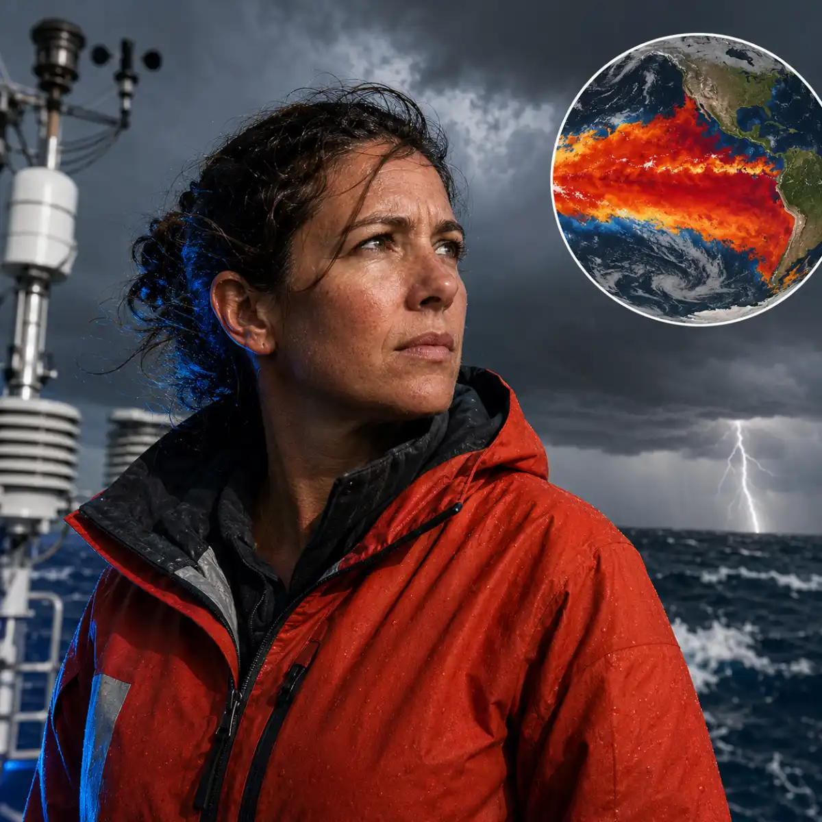
Those figures place the event on course to become very strong. However, the organization has not formally declared it the strongest since records began in 1950, and it does not use “super El Niño” as an official category. The dramatic nickname is useful for headlines, less so for explaining what will happen in a particular town.
Event strength also does not translate neatly into local damage. Geography, infrastructure, preparedness and other ocean patterns all shape the outcome. A powerful event can produce severe consequences in one region and comparatively limited effects elsewhere.
How much extra heat will it add?
El Niño is expected to lift global temperatures, but human-produced greenhouse gases remain the main source of the planet’s long-term warming. Climate Central scientist Zachary Labe told the Associated Press that El Niño typically adds about 0.1C to 0.2C, far less than the accumulated effect of fossil fuel emissions.
Climate scientist Zeke Hausfather estimates there is a 35% chance that 2026 will surpass 2024 as the hottest year recorded. That would depend on the strength and timing of the Pacific warming, alongside temperatures in the Atlantic, Indian Ocean and other regions.
Scientists are still studying whether climate change is making El Niño events stronger. The evidence is not yet conclusive. What is clear is that these events now occur on a hotter baseline, increasing the potential for dangerous heat, heavy rainfall and marine damage.
“Climate change does not take a break during El Niño,” Saulo said. That distinction matters because presenting the natural cycle as the main cause of current heat risks giving greenhouse emissions a remarkably convenient absence from the paperwork.
Why is Australia watching the ocean?
Australia has already endured repeated marine heatwaves linked to climate change, causing widespread coral bleaching, algal blooms and major ecological damage. El Niño can intensify the extreme warmth associated with those events.
Dr Alistair Hobday, chief researcher at Australia’s national science agency, said forecasts suggest the Great Barrier Reef may avoid the worst conditions this year, allowing damaged coral more time to recover. Southern Australia faces a more troubling outlook.
“Southern Australia is getting slammed,” Hobday said, pointing to the region’s recent algal bloom, bird flu outbreak and forecast marine heatwaves. Previous episodes around South Australia and Tasmania brought starving penguins, fish deaths, oxygen-depleting algae and jellyfish invasions.
Australia has introduced marine crisis warning systems that can give authorities and industries time to:
- Arrange financial relief for fisheries
- Move particularly important species
- Increase coral and ecosystem monitoring
- Prepare for closures or falling catches
These measures cannot cool the ocean, an inconvenient limitation, but they can reduce economic losses and improve the chances of protecting vulnerable species.
Where could drought disrupt lives and trade?
Drier conditions are forecast across large parts of Southeast Asia, Central America and northern South America. That raises the likelihood of water shortages, crop losses and wildfires over the coming months.
Indonesia has already battled fires that burned more than 107,000 hectares during the dry season. Authorities deployed 43 helicopters, conducted cloud-seeding operations and arrested dozens of people suspected of using fire to clear land.
Darwin Romy, a resident of Central Kalimantan, said wildfires had affected his area for more than a month. “The smoke has become quite thick. When we step outside, our eyes start to sting. The smell of the smoke is also quite strong,” he said.
The Panama Canal provides a more international example of the same rainfall problem. The Panama Canal Authority plans to reduce vessel traffic by more than 10% as it prepares for lower precipitation in the watershed that supplies the locks.
About 14,000 ships use the canal each year, generating roughly $3 billion annually for Panama while carrying a substantial share of global trade. The waterway only returned to full capacity in September 2024 after restrictions imposed during the 2023-24 drought. Another round of cuts will test whether one of the world’s most important shipping routes has adapted, or merely enjoyed a brief return to normal service.
Which regions face floods and stronger storms?
El Niño is also associated with heavier rainfall in eastern Africa, southern Brazil, the southern United States and parts of South America. Flooding, landslides and damage to urban drainage systems could follow.
China expects seven typhoons to make landfall during 2026, according to national experts who have linked the active season to the developing Pacific event. Bavi, Noul and Maysak struck in July, while Dolphin became the year’s fourth Chinese landfall in August. More than one million people were evacuated as Dolphin brought heavy rain and powerful winds.
Peru is especially exposed because its coastline lies beside the eastern Pacific. Previous El Niño episodes have brought intense rainfall, flash floods and landslides to Peru, Ecuador and parts of Brazil. Dense urban development can worsen flooding where water has few safe routes to drain away.
Miguel Aréstegui, climate resilience lead at Practical Action, said concern should produce preparation rather than alarm. The organization has worked with local partners to improve public access to river levels, flood warnings and weather forecasts.
The United States announced in August that it would send the hospital ship USNS Comfort to the Peruvian coast, providing medical assistance and technical equipment before the event reaches its expected peak.
Can early warnings prevent the worst losses?
The World Meteorological Organization is distributing forecasts as widely as possible so communities can act before extreme weather arrives. Better alerts can support evacuations, protect livestock, move medical supplies and help farmers adjust planting decisions.
Warnings alone cannot solve the structural problems that turn hazardous weather into disaster. Aréstegui highlighted housing built in exposed areas, weak water and sanitation networks, and under-resourced healthcare systems as factors that magnify the damage.
“El Niño does not arrive in a vacuum,” he said.
That is the central challenge facing governments through 2027. Forecasting has improved, and scientists can now identify elevated risks months in advance. Whether authorities can convert that information into safer housing, resilient water systems, emergency healthcare and protected livelihoods remains a separate question.
Guterres said the event was being “supersized before our eyes”, while Saulo warned it could deliver “a massive blow to communities and economies across the world”. The precise local effects remain uncertain, but the broad outlook is not subtle: a naturally warmer Pacific is arriving on top of a human-heated planet, and preparedness will determine how much of the forecast becomes a catastrophe.